
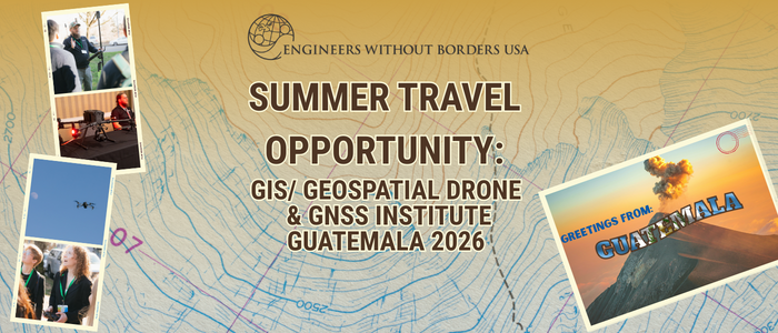
EWB-USA is launching a GIS/Geospatial Drone Mapping & GNSS fieldwork course sponsored by Trimble for those interested in developing hands-on experiences with drone mapping and processing.
Join the upcoming info session (March 18, 2026 | 4 PM CDT) to learn more about the program, travel experience, and how you can participate.
Program Goals
- Build the skills of volunteers pursuing GIS-related or geospatial careers.
- Strengthen the technical capacity of our in-country partner.
- Increase EWB-USA organizational expertise in surveying and mapping.
- Generate baseline geospatial data to inform active and future projects in Guatemala.
Program Details
- Dates: Tentatively Sunday May 31st-Thursday June 11th, 2026
- Cost: $2000-$3100
- Structure: Volunteers will travel to Guatemala, complete two days of in-classroom instruction, and then conduct field data collection using drones and GNSS technology at 7-9 EWB-USA project sites near Lake Atitlán, Nebaj, and San Cristóbal Verapaz, Guatemala, alongside EWB-USA partners.
Questions?
Please contact EWB-USA staff member, Julia Slusarz julia.slusarz@ewb-usa.org with any questions.