Engineers Without Borders USA (EWB-USA), in collaboration with Trimble, a global industrial technology company, launched a GIS/Geospatial Drone Mapping and GNSS fieldwork course in Guatemala over the summer 2026. This unique institute was a first for EWB-USA, sending nine young professional engineers, including two local Guatemalans, into some of the country’s most remote terrain to collect the precision mapping data needed to design water systems for hundreds of families.
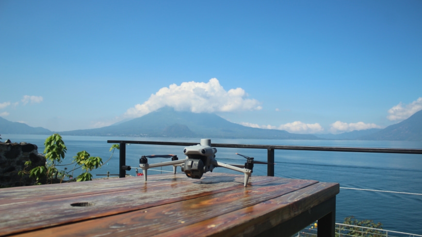
The 10-day institute (May 31–June 10, 2026) combined classroom instruction with field deployment across nine active EWB-USA project sites in three regions: the shores of Lake Atitlán, the high Ixil mountain range of Quiché, and the Alta Verapaz area. Using Trimble® GNSS receivers and aerial imaging systems, participants produced orthomosaics, digital surface models, and georeferenced point clouds that will directly inform pipeline routing, storage placement, and terrain analysis at each site.
Participants from the institute in collaboration with the GIS Support Committee will be providing a webinar on using drone imaging to create topographic maps. This webinar will provide an overview of the institute, including the steps needed to fly a drone to collect photogrammetry, ground control methods, and post data processing.
In this webinar EWB-USA will also provide highlights of the benefits of using this method and the criteria that should be evaluated to determine if this method would be useful for your project conditions.
Please join EWB-USA, via Zoom, on Thursday, July 22, at 4 PM CT for an exciting recap of the first EWB-USA GIS Institute.
Register for the free webinar here.